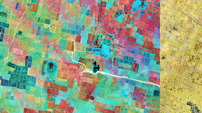
Recent technological advances are creating tremendous opportunities to address knowledge gaps and enhance the precision of demand-driven interventions – whether breeding site-specific crop varieties, improving the efficiency of farm inputs, managing ecosystem services, or introducing appropriate and sustainable agronomic practices.
The advances also support an integrated ‘systems’ approach – a key pillar of the sustainable intensification of agri-food systems, which can protect ecological functions while also delivering on yield, nutrition, and income against a backdrop of climate change and population pressures.
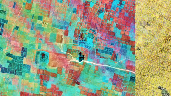
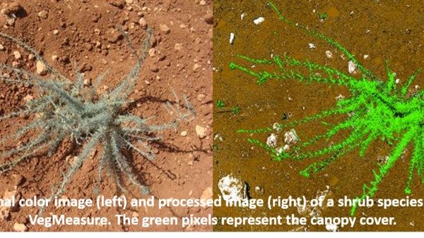
Earth Observation Systems, Open Access platforms, Artificial Intelligence, Machine Learning, Information, and Communication Technologies, Cloud Computing Platforms, and the outpouring of field data and molecular research data, along with smartphone-enabled ‘citizen science,’ increasingly make ‘Big Data’ analytics smarter, interoperable, and more useful than ever before. They can help to create valuable decision analytics at multiple scales and domains.
ICARDA’s geo-informatics platform offers spatial solutions for integrated agro-ecosystems, making valuable contributions to the center’s research strategy and the CGIAR Big Data Platform, which offers global leadership in organizing open data, convening partners to develop innovative ideas, and demonstrating the power of big data analytics.
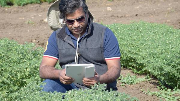
Ongoing efforts in big data-driven digital augmentation that quantify complex system dynamics and drivers are helping ICARDA to target site-specific ecological intensification across the dry areas – whether intensifying the production of pulses in rice fallows, promoting the adoption of conservation agriculture, or sustainably bridging yield gaps. Field data collection (geo-tagging and agro-tagging) tools and open data kits are also aiding the geo-localization of our research, helping with the scaling and measurement of our impacts.

